
[Ed: As the coauthor who developed the structure and presentation of this first-ever fully online publication at the CGS—the Colorado Groundwater Atlas—I wanted to help draw attention to the issue of groundwater generally. This is an edited version of the initial RockTalk blog post when the Atlas was first published in 2020. Written for both the general public (Sections 1-8 and 13) and a technical audience (Sections 9-12), the Atlas is an excellent primer on this critical and rapidly diminishing resource.]
An aside
My neighbor, Christie, directed my attention the The Last Word On Nothing (LWON) blog—she writes for it—and I’ve been reading it regularly over the past couple years. That led to my belated discovery of the work of Colorado-based author Craig Childs who also writes for LWON. He’s “an anecdotal science writer, citizen naturalist, an eye in wild places.” I’m currently absorbing and enjoying his first book of essays, “The Secret Knowledge of Water,” published in 2000, a series of intimate takes on this elemental feature of western landscapes. (Well, technically, “Stone Desert Journal,” published in 1999, and republished in 2022, was his first book.)
Water in the US West is a big deal … I should probably assemble a bibliography of essential readings on the topic! Maybe someday. Meanwhile, I’ve got to go water some of the few native trees on my property with captured rainwater that came last night, it’s been a pretty dry year again, so far.
Groundwater
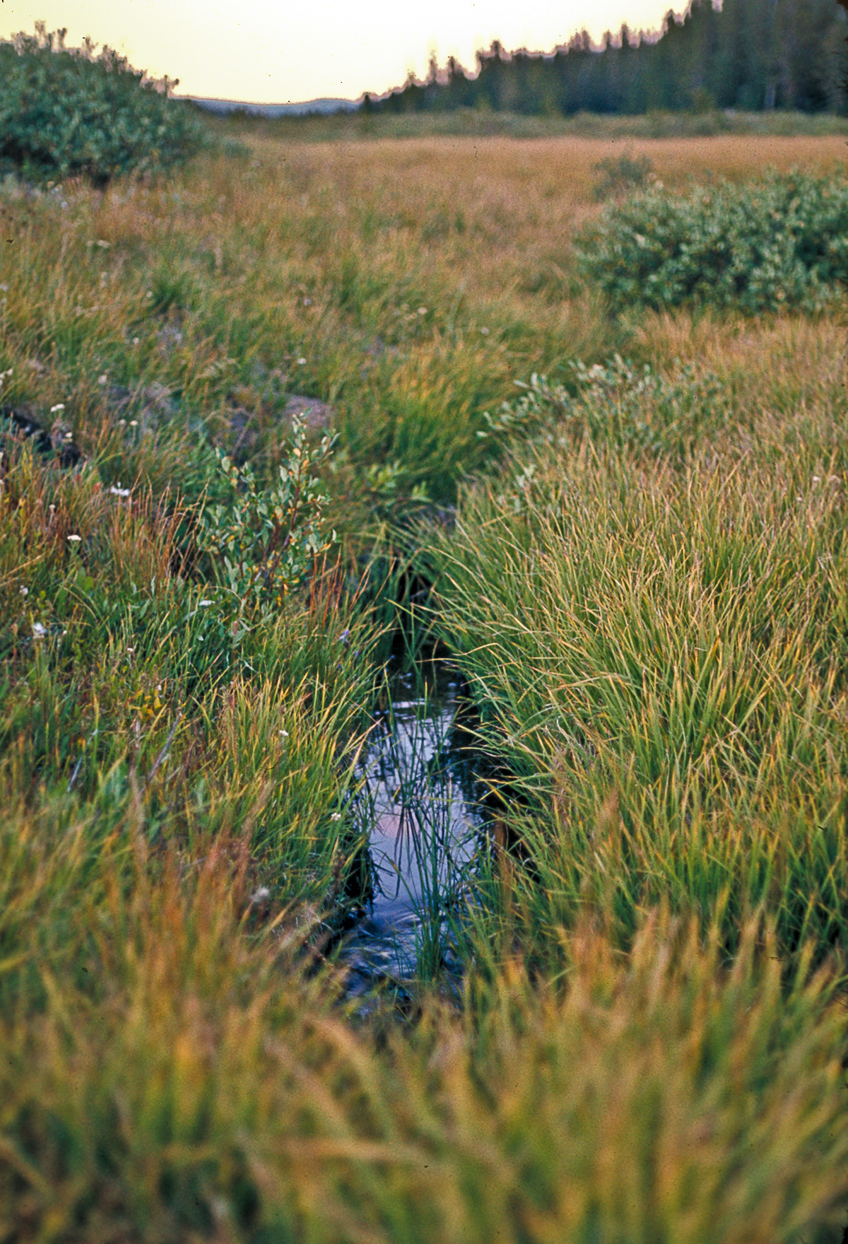
Everyone knows that water, wherever it might be found—at the surface or underground—is essential for life. However, few people are aware that groundwater is everywhere beneath their feet. It fills the pore spaces between grains of soil, sand, and gravel as well as the fractures and voids in hard bedrock (Figure 02-01 – pdf download). It may be just below the surface—accessible by digging with simple garden tools, or it may be hundreds of feet down in hard rock—requiring expensive drilling with specialized equipment.

As a resource, groundwater is crucial to the lives and well-being of the residents of Colorado. To address the broad importance of water across the state, the Colorado Water Conservation Board (CWCB) developed and implemented a general water plan with its supporting Analysis and Technical Update. At the same time the Colorado Department of Public Health and Environment (CDPHE) is developing a statewide groundwater protection plan that will identify aquifer vulnerability to pollution. With a long history of involvement in water issues around the state, the CGS hydrogeology team was brought in to augment the science and develop a comprehensive online portal to the geoscience information behind these efforts.

The Atlas
After several thousand hours of research—including the detailed compilation of all available groundwater data from around the state—the CGS produced the web-based Colorado Groundwater Atlas. It provides detailed background information about groundwater resources, administration, and quality in addition to comprehensive descriptions of the many aquifers and basins found across the state.
Detailed in the Table of Contents, Sections 1-8 of the Atlas provide an introductory exploration of the fundamentals of groundwater in general, and the specifics of groundwater in Colorado: the scientific, the geologic, the statutory. Following those, Sections 9-12 are more technical discussions of particular aquifers and aquifer types, along with detailed discussions of the various basins. Section 13, in conclusion, presents a concise outline of the geologic evolution of the state in relation to the current presence of groundwater resources.
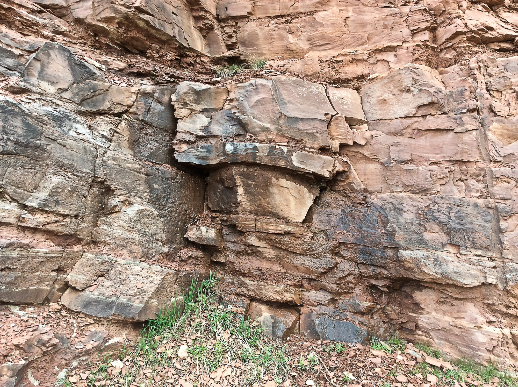
When a geologic formation is able to yield groundwater to a well or spring it is called an aquifer. Colorado is a mosaic of different types of geologic formations (Figure 13-01 – pdf download) which makes for many aquifers of many types. Precisely where usable groundwater may be found depends entirely on the particular location within the state’s diverse geology. The Atlas addresses this location issue comprehensively with a multi-layer GIS map and a downloadable GIS dataset—both these are augmented with meticulous metadata—providing provenance, processing, and background information. Also included in the GIS are layers of aquifer distribution and other characteristics found in the public domain but presented in a common GIS format for the convenience of more technical users.

Post-script: All content in Atlas is subject to ongoing updates as new information and data become available. Groundwater research in Colorado is an evolving discipline as many agencies, public entities, and academic institutions are constantly gathering new information to better understand and manage this critical resource. As a web-based information source, the Atlas provides a flexible platform where data can be added as it becomes available.
QUICK LINKS TO:
— Main Atlas landing page — includes Table of Contents, linked list of Tables and Figures, and the primary Atlas contents.
— Atlas Bibliography and Glossary — extensive Bibliography for the project along with a Glossary of groundwater-related terms.
— Main online (GIS) Atlas map — comprehensive GIS map including all aspects of available groundwater data. Complete metadata is also included.
— Current Atlas data download — the most current (20 May 2020) downloadable GIS dataset, also includes a full set of high-resolution Figures and Tables from the Atlas.
Citation
Citation: Barkmann, Peter E., Lauren D. Broes, Martin J. Palkovic, John C. Hopkins, Kenneth Swift Bird, Lesley A. Sebol, and F. Scot Fitzgerald. “ON-010 Colorado Groundwater Atlas.” Geohydrology. ON-010 Colorado Groundwater Atlas, 08 January 2020. https://coloradogeologicalsurvey.org/water/colorado-groundwater-atlas/