Case Study: NARD

[ED: I decided to re-work and re-publish some of the public-domain articles that I compiled and wrote for the CGS as they are no longer updating the widely-read >RockTalk<  blog that I established for them back in 2016.

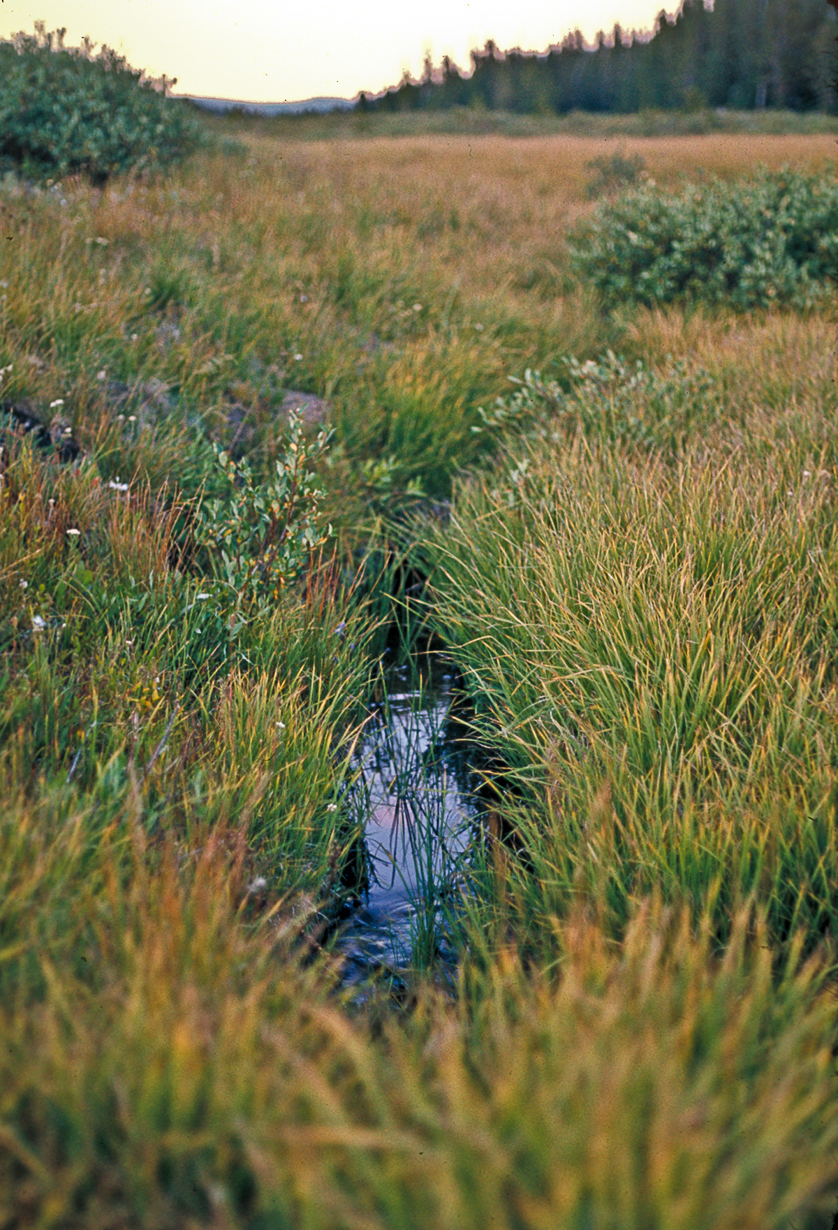
Public interest regarding human-caused water pollution from abandoned mines remains high following the Gold King Mine event in 2015. Complicating the overall water-quality issue is the presence of natural pollution sources that affect the baseline condition of many watersheds across the state. These areas are often accompanied by obvious surface indicators as depicted in the photos.]

Are so-called pristine mountain waters always clean and pure? Can streams unaffected by human activities and livestock influences be unfit for human consumption, or for aquatic life? The existence of natural acid rock drainage (NARD) suggests a “no” to the former, and a “yes” to the latter question.

But what exactly is NARD? 

more “Case Study: NARD”

Case Study: Collapsible Soils

[ED: This report was initially sketched out by Jonathan White, Senior Engineering Geologist, (Emeritus) in 2004. Annual damage estimates due to collapsible soils in the US range between $1-$3 billion. Regional hot-spots in the Southwest include parts of Colorado—the Western Slope (Grand Junction), the Eastern Plains, and because of rapid urbanization and development on marginal soils, Douglas and El Paso Counties. Damage to a single residential structure can exceed $100,000 while repair and mitigation of infrastructure (roads and utilities) can run into the millions of dollars for affected regions or projects.]

At the end of the 19th and beginning of the 20th Century, some of the first settlers of the plateau region of western Colorado along the Colorado River, and the Uncompaghre and North Fork of the Gunnison river basins, looked to fruit crops for their livelihood. The semi-arid but moderate climate was well suited for fruit orchards once irrigation canal systems could be constructed.

But serious problems occurred when certain lands were first broken out for agriculture and wetted by irrigation. They sank, so much in places—up to four feet—that irrigation-canal flow directions were reversed, ponding occurred, and whole orchards, newly planted with fruit trees imported by rail and wagon at considerable expense, were lost. While not understood, fruit growers and agriculturists began to recognize the hazards of sinking ground. Horticulturists with the Colorado Agricultural College and Experimental Station (the predecessor of Colorado State University) made one of the first references to collapsible soil in their 1910 publication, Fruit-Growing in Arid Regions: An Account of Approved Fruit-Growing Practices in the Inter-Mountain Country of Western United States. They warned about sinking ground and in their chapter, Preparation of Land for Planting, made one of the first recommendations for mitigation of the hazard. They stated that when breaking out new land for fruit orchards, the fields should be flood irrigated for a suitable time to induce soil collapse, before final grading of the orchard field, irrigation channels excavation, and planting the fruit tree seedlings.


Piping cave/soil arch in Qamf deposit, Loutzenhizer Arroyo, Delta County, Colorado, April 2007. Photo credit: David Noe for the CGS.

more “Case Study: Collapsible Soils”

Case Study: stormwater

[ED: Although this report centers on a particular region in the Colorado Rockies, the principles apply everywhere—it informs how development affects our most important resource: water.]

Stormwater runoff is excess water associated with a rain or snow storm event that flows over the land surface and is measurable in a downstream river, stream, ditch, gutter, or pipe. From a regulatory perspective, stormwater is managed through some sort of engineered conveyance and is focused on specific pollutants. Hydrologically, stormwater also includes water that is infiltrated into the subsurface and contributes to increased stream discharge.

Check-dams along drainage ditch, Clear Creek County,
Check-dams along drainage ditch, Clear Creek County, Colorado. Photo credit: Colorado Geological Survey.

Urbanization and development causes changes to the natural hydrologic system in a watershed. Alterations in land use and land cover for agriculture, buildings, roads, and other urban infrastructure result in loss of vegetation and topsoil. These changes and the construction of a drainage network alter the hydrology of the impacted area producing radically different flow regimes than the pre-development hydrology. The developed landscape results in a reduction of infiltration and evapotranspiration functions of the soil and vegetation, such that stormwater flows rapidly across the land surface discharging into streams in short, concentrated bursts of high flows. When combined with pollutant sources, increased stormwater runoff leads to water quality and habitat degradation. Stormwater has been identified as a leading source of pollution for all types of waterbodies in the United States.

Traditional stormwater practices were developed with flood control in mind and promote collection and conveyance of precipitation from all storms away from the site to prevent property flooding. This has the unintended consequences of conveying water from small storms out of the watershed, concentrating pollutants, causing stream channel impacts, and depleting groundwater recharge. Local governments with their dual responsibility of land use planning and stormwater management have direct control over stormwater runoff impacts. Research has identified and documented stormwater management technologies and practices that may be implemented locally. These can protect and conserve water resources through the mitigation of detrimental impacts caused by land disturbances and modifications associated with land development.

Get the full (free!) report: OF-09-11 Managing Stormwater to Protect Water Resources in Mountainous Regions of Colorado

Citation

Topper, Ralf E. “OF-09-11 Managing Stormwater to Protect Water Resources in Mountainous Regions of Colorado.” Hydrogeology. Open File Reports. Denver, CO: Colorado Geological Survey, Department of Natural Resources, July 2009. https://coloradogeologicalsurvey.org/publications/managing-stormwater-mountainous-regions/.

Case Study: Roaring Fork sinkhole

[ED: This account from 17 January 2005 was written by Jon White, Senior Engineering Geologist, Emeritus, Colorado Geological Survey. Edited for dated references, it highlights a hazardous geological regime in the central Colorado Rockies around the Roaring Fork River Corridor (across Garfield, Eagle, and Pitkin counties). Over the years, under heavy population pressures, development in Colorado—driven by collusion between profiteering developers and cash-hungry county governments—frequently ignored existing geological conditions. This particular geological situation was not well understood but was generally recognized during the initial wide-scale development in the region. In this case, though, the risk was too small to deter valuable development: and that led to dramatic consequences. Ironbridge, a few years later, saw an protracted legal fight between a number of home-owners and the developers, after the same issue of massive subsidence hit their homes, rendering them uninhabitable.]

Historically, ranching was the dominant land use in the area and [geohazards] caused only relatively minor problems. Recently, rapid development of the valley and its surroundings has fundamentally changed traditional land uses, resulting in higher public exposure to these hazards. To reduce the associated risks, it is necessary to understand these hazards and where they occur. Appropriate levels of investigation, engineering design, and maintenance practices are needed to mitigate these hazards for existing structures and new property and infrastructure development. — from MS-34.

In mid-January 2005, while on the Western Slope, I was informed by a number of people that a sinkhole had opened at an on-going development in the Roaring Fork Valley, somewhere between Glenwood Springs and Carbondale. I made some inquiries with the local geotechnical firms and found that the sinkhole had opened Sunday, January 9, 2005 on the Ironbridge Development off of County Road 109, across the river from Highway 82. I visited the site with the Ironbridge Construction Manager on Thursday, January 13, 2005. There was some damage to golf course structures and loss of equipment. Fortunately there were no injuries or residential loss. This development was previously called Rose Ranch during the Garfield County planning approval process and I reviewed the main submittal and several resubmittals as the county reviewed the application. My main concerns were hydrocompactive soils, debris flow hazards and mitigation, and potential for evaporite karst and formation of sinkholes on the property.

more “Case Study: Roaring Fork sinkhole”