

calendar
Jim & Dale in from Brea Research
Elder, Gary. Arnulfsaga: Seven Fitts in the Last Days of the Nation. Paradise, CA: Dustbooks, 1979.
Luncheon w/ Rich
portrait, Hector

portrait, Jaime

field work

group portrait, trocha crew

field work

RE: Huallaga, Peru Aeromagnetic Data
TO: R. T. Burns
FROM: John Hopkins, Integrated Exploration Group
October 29, 1983
Digital aeromagnetic data purchased from Aeroservice in July, 1983 comprises approximately five percent of a large regional survey of eastern sub-Andean Peru. The line spacing is 10 km x 15 km and there are 400 line-kilometers of digital data. Data quality is average considering that the survey was flown in 1974: it is below current high-resolution standards. Actual acquisition specifications for the survey are not available at this time. The data covers only a small corner of Block 29: it will be useful for extrapolating geologic trends to the southeast and establishing a regional gradient if a high-resolution aeromagnetic survey is flown over Block 29.
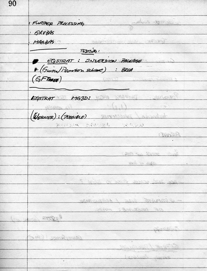
Given the apparent complexity and scale of geological features in the area, a regional aeromagnetic survey provides only a tentative overview of the gross tectonic features. The magnetic data is dominated by a large low with an east-west orientation. Werner deconvolution depth solutions over the low indicate that the depth to the magnetic basement (a crystalline granodioritic complex) is between five and seven kilometers. Depths decrease to around three kilometers in the east. This thinning of the stratigraphic section corresponds to large-scale thrust faulting as identified from surface geology and SAR information. It is not known whether these thrust-faults continue at high angle into the crystalline basement or whether they are intrasedimentary listric reverse (?) faults. It is possible that the basement complex acts as a ramp on which the sedimentary thrust sheets glide.
Basin formation in this area is closely related to Mid-Cretaceous Andean (Laramide) orogenic activity. Crystalline basement will have an effect on many stratigraphic depositional features as well as post-depositional structural deformation. Perhaps the most interesting geological features in the area are the massive salt diapirs, some of which outcrop over tens of square kilometers. The tectonic mechanisms that have caused these features are unknown. Based on the existence of complex faulting throughout the whole region, diapiric upwelling could be occurring along fault planes or zones of weakness over faults in the basement complex. High-resolution magnetic data can provide definitive information on basement topography and its relation to pertinent stratigraphic features.
In proposing a high-resolution aeromagnetic survey over Block 29, a number of factors must be considered:
- The relationship between magnetic basement trends and possible petroleum bearing structures is not well known. This area is geologically complex and little information is available on even basic tectonics. From the regional aeromagnetic data, it is evident that the surface of the magnetic basement varies in depth between two and seven kilometers.
- The area is remote and access limited for ground geophysical surveys because of terrain and vegetation. The planned seismic acquisition format will be widely spaced dip-lines; aeromagnetic data can greatly aid in selecting proper line orientation and decrease the areal extent of possible prospects. Magnetic information may also aid in tying geologic features between lines.
- The crystalline basement underlying Block 29 is presumed to be a continuation of the Andean batholith which has a fairly homogeneous magnetic susceptibility. This will reduce interpretative errors: magnetic features will generally be caused by variations in basement topography.
- A number of important new processing techniques for enhanced information recovery from aeromagnetic data have recently been developed and successfully applied by Science and Technology. The most valuable of these is Root-Second-Derivative (RSD) analysis: a very powerful method of delineating high frequency/low amplitude intrasedimentary magnetic features.
- With a high-resolution grid 1 km x 4 km, the entire block could be flown (11,000 line-km) including mobilization/demobilization and preliminary processing for an estimated cost of $285,000. The approximate time lapse between signing the survey contract and digital data delivery is five months.
The applicability of gravity data as well as the costs involved in running a gravity survey over Block 29 are discussed in the attached memo data June 22, 1983 from H. D. Sinks.
JH/jc
cc: D. R. Raney
G. E. Kurash
D. E. Willis
H. D. Sinks
meeting notes

office, Union Oil of California, Wilshire Boulevard
