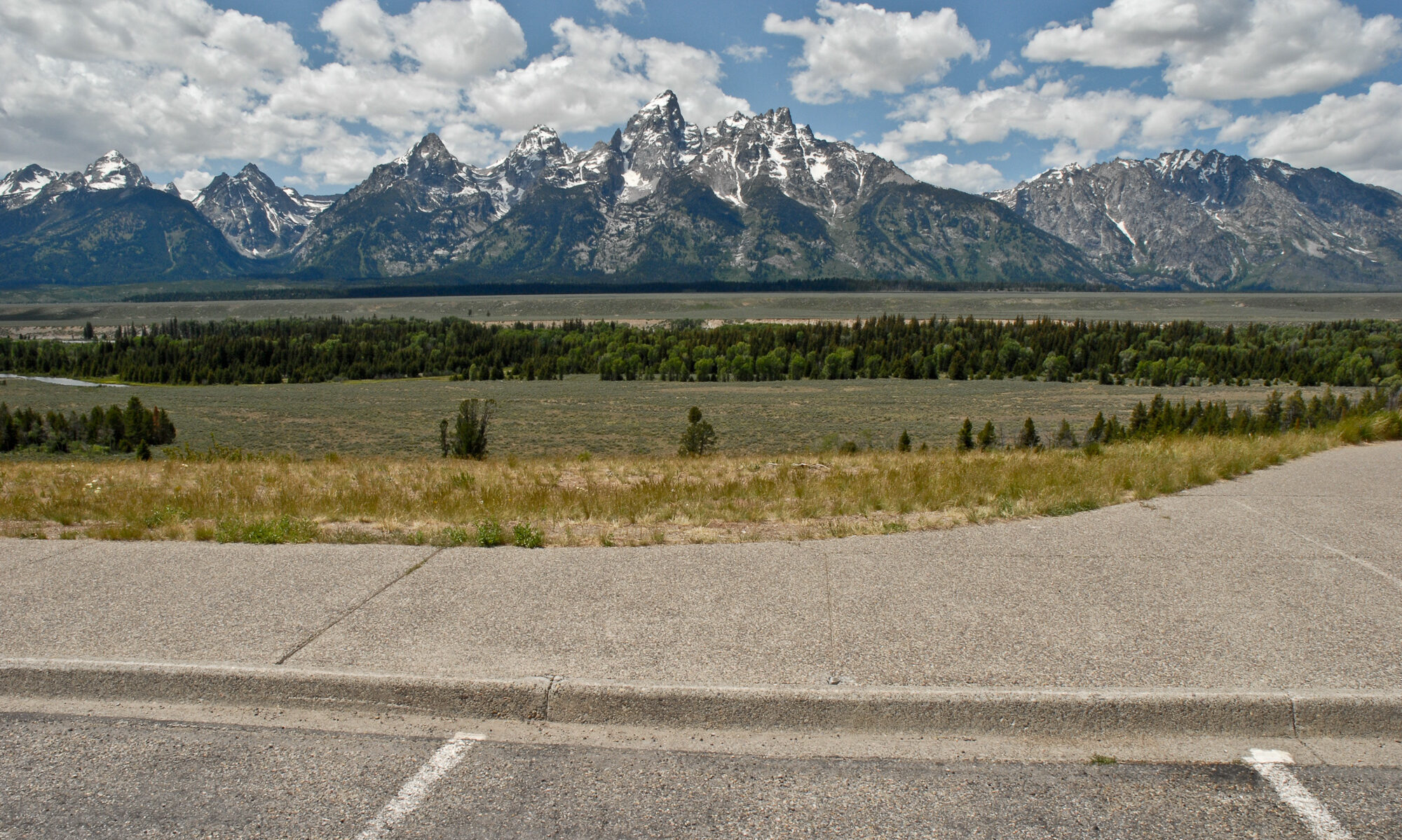
The Gunnison River and its tributaries to the south and west of Grand Mesa along with the Colorado River immediately to the north of the Mesa have eroded more than 5000 ft (1500 m) of the soft sediments underlying the basalt cap of the Mesa in the past nine million years. Those sediments are comprised of the Green River, Wasatch, and Mesaverde Formations of early Tertiary to Late Cretaceous age and are made up of easily eroded (oil) shale, clay and siltstones, along with friable sandstones. The confluence of the Gunnison and Colorado rivers is off to the right of the image about 10 mi (15 km).
